Mission footage · autonomous lava-tube exploration, Iceland
Autonomous inspection for the places no signal reaches.
No GPS, no connectivity, no pilot. The robot runs the round; a decision-ready report reaches the morning meeting.
1 km+
world-first autonomous cave exploration, Iceland
8 years
of underground field trials in real mines
3
EU research programs behind the mission stack
20
peer-reviewed publications by the founder
What happens on every run
Runs the round itself
Scheduled missions through kilometers of drifts with no GPS, no comms coverage, and nobody watching. Proven in the field, in exactly the environments where connected platforms stop working.
Compares it to the last run
Convergence, debris, water ingress, and support damage show up as measured differences against the site's accepted baseline, not as guesses.
Reports what needs attention
Minutes after the robot reaches comms, a report lands in the inbox: what it saw, what changed, what needs attention. No point clouds to interpret.
Your team gets answers, not data
Not a dashboard to babysit, not a point cloud to decode. A document a shift can act on, in the inbox before the morning meeting.
Everything stays on your site
The AI that reads imagery runs on the robot and a server you host. No cloud calls, no training on your data. Air-gapped sites work.
A record that compounds
Every mission adds to a dated, evidence-backed history of the site, stored in open formats on your premises. If we part ways, you keep it all.
No new software for the crew
Day one is a PDF in the inboxes you choose. Deeper integrations follow your pull, not our roadmap.
Inspection report
Sarthi Robotics
Delivered 06:12,
before the morning meeting
Two findings need attention.
Everything else checked out.
Findings, evidence imagery, positions, and readings are the customer's. Nothing from a real site is published here.
Every run compared to the last
Snapshot tools tell you what a place looks like today. Because Sarthi repeats the same route on schedule, it can tell you what moved, what grew, and what is trending toward failure.
That difference is the difference between a survey and an inspection.
Built for where the connected world ends
Most inspection robotics assumes infrastructure a mine does not have. Sarthi assumes nothing.
- Fleet platforms assume a live network to the robot.
- Sarthi's missions run entirely on the robot. The link is optional; the round happens either way.
- Survey scanners capture a site once, when someone carries them there.
- Sarthi is resident. The same route on schedule, every run compared to the last.
- Inspection robots want a pilot, a dock, or a pre-mapped facility.
- Sarthi enters unmapped workings and comes back with the map.
Built by the researcher who flew the world-first
Sarthi grew out of a PhD and postdoc at Luleå University of Technology: eight years of making robots self-reliant underground, published in the field's leading venues and proven at real sites, from an Icelandic lava tube to an operating iron-ore mine.
Proven in the field, not the lab
Years of underground trials with Nordic and European operators, and one world-first that no other stack has repeated.
World-first lava-tube exploration
Iceland
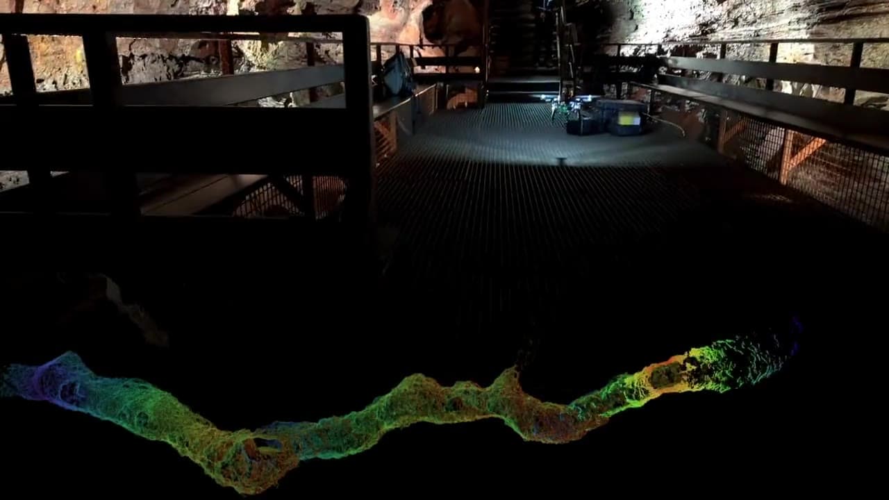
A drone explored and mapped more than 1 km of a naturally formed lava tube, fully autonomously: no GPS, no link, no pilot. The first mission of its kind anywhere.
Bring Sarthi underground
Tell us your mission profile: re-entry, routine patrol, or post-event. We will bring the field results.